Downcutting impacts water resource management
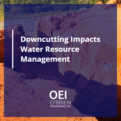
Downcutting is a type of geological erosion. When water moves through a channel at a rate that doesn’t allow materials to deposit while also carving out existing material, the channel’s structure alters vertically. Erosion increases when a channel experiences any type of hydrologic change. These can be natural changes related to climate or anthropogenic changes. […]
Utility easement rights: Understanding project, legal, and landowner implications
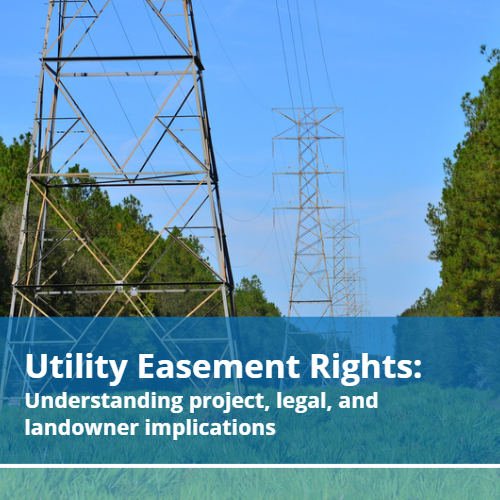
Utility easement rights can be extremely complicated and vary widely among locations. A documented easement gives an individual or agency the right to use or access a property for a specific purpose. In the case of civil engineers, an easement can be used when implementing or updating infrastructure. An easement grants access to private property […]
Wastewater Collection System Design FAQ
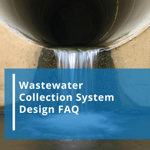
Wastewater collection system design is integral to the proper management of a community’s water resource management system. More than 3.5 billion people don’t have access to properly managed sanitation. Civil engineers continue to work with communities and other entities to provide more efficient water management systems. Here are three frequently asked questions about basic wastewater […]
Texas GIS Map Guides Planning
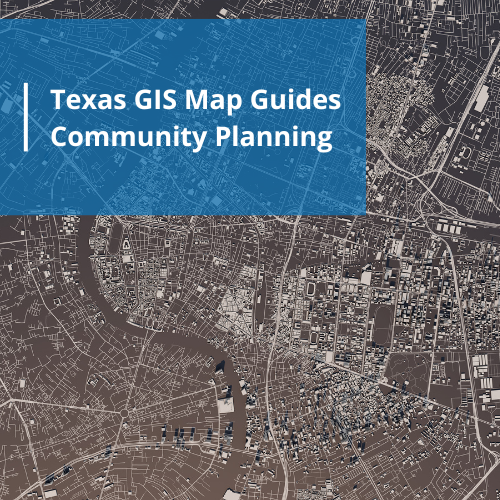
A Texas GIS map has many applications when planning, implementing, and maintaining community infrastructure. A geographic information system (GIS) is a computer representation of specific data sets that can be layered and analyzed. GIS technology is used in almost every industry with a multitude of practical applications. Mapping Benefits The ability to layer data that […]
Floodplain Development Permit Needs
A floodplain development permit is required before any construction or development of any type begins in a Special Flood Hazard Area (SFHA). Communities are responsible for ensuring all proposed developments attain the required documentation and approvals as mandated by local, state, and federal law. Furthermore, a community must develop floodplain management ordinances to ensure the […]
Environment Studies and Sustainable Community Planning
Environment studies are imperative for community decision makers. These reports contain empirical data of the environmental impact of current or potential infrastructure. The beginning of the industrial revolution created a need for regulations that prevent pollution. Introducing any type of waste substance into an environment can have major consequences to land, water, plants, animals, and […]
National Flood Experts Predict Higher Flood Incidents
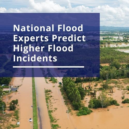
National flood experts collect and interpret data regarding water movement. These observations have multiple applications including the prediction of future event intensity, rate of occurrence, and response recommendations. The results of new studies indicate the coastal areas of the United States, including the gulf of Mexico, will see a higher rate of flooding in the […]
Water Distribution System FAQs
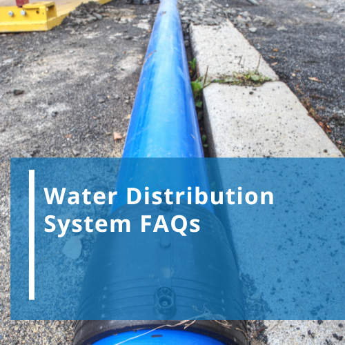
A water distribution system is a form of infrastructure installed and maintained by a community to provide access to clean water and remove waste water. In their simplest form, these systems move water from a source or storage facility to a consumer, then take wastewater to a treatment facility. A survey of American households estimated […]
What is a FEMA Floodplain Map?
FEMA floodplain maps are important tools used by communities to analyze potential flood damage by displaying information on the size and shape of a floodplain. Floodplains are areas surrounding bodies of water. When excess water from a storm causes overflow, it will travel into the floodplain. Knowing if property is located in a floodplain determines […]
What is Civil Engineering?

What is civil engineering, anyway? The American Society of Civil Engineers (ASCE) states, “Civil engineers design, build, and maintain the foundation for our modern society.” Civil engineering is all around us and impacts almost every part of our lives. What civil engineering is, exactly, is a foundation for sustainability in our society. Civil engineers are […]
