
Geographic Information Systems
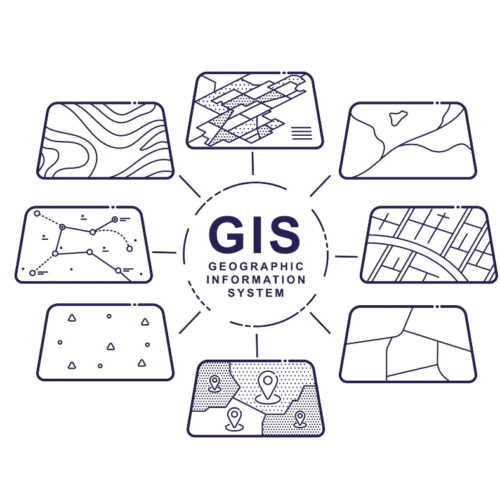
Geographic information systems are interactive maps that display different types of data. These systems are used to create models that analyze trends and make predictions. The resulting information is a key element to successful decision making in the design process.
OEI is a leading engineering firm that specializes in water management. With over 30 years’ experience resolving surface water issues, our effective use of geographic information systems aids in the successful implementation and maintenance of water resource management.
GIS and Flood Management
By creating an accurate geographic information system, OEI can assess and make recommendations for floodplain management. Models made through a geographic information system are beneficial to creating more efficient emergency management and recovery plans. Floodplains change over time and need to be monitored so governments can take action to preserve life and property while efficiently managing resources.
Through effective modeling, water resource engineers can make visual representations to assess the extent of flooding that includes estimating potential damage. These models can also be used to assess flood risk by forecasting the potential outcome based on water movement data.
OEI Water Resource Services
OEI uses geographic information systems on almost all our projects. Being able to create a realistic model helps individuals and organizations better understand spatial patterns and relationships. Our multidisciplinary team works together to provide the most innovative solutions.
In addition to modeling and system analysis, OEI’s expert water resource team works on projects concerning:
- Floodplain reclamation
- Stakeholder coordination and communication
- Permitting
- Letters of map change/amendment/revision
Our extensive experience and long-standing relationship as a FEMA partner are beneficial to streamlining the application and approval process needed for effective floodplain and other surface water management. By providing a smooth process from start to finish we honor each client’s time and budget goals. Contact us today to learn more about our extensive services to solve all your surface water issues.