Geographic Information Systems
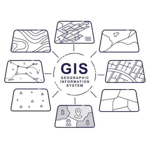
Geographic information systems are interactive maps that display different types of data. These systems are used to create models that…

Geographic information systems are interactive maps that display different types of data. These systems are used to create models that…