Utility easement rights: Understanding project, legal, and landowner implications
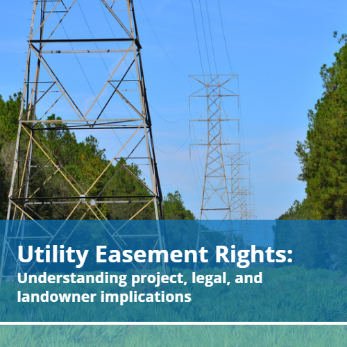
Utility easement rights can be extremely complicated and vary widely among locations. A documented easement gives an individual or agency the right to use or access a property for a specific purpose. In the case of civil engineers, an easement can be used when implementing or updating infrastructure. An easement grants access to private property […]
Wastewater Collection System Design FAQ
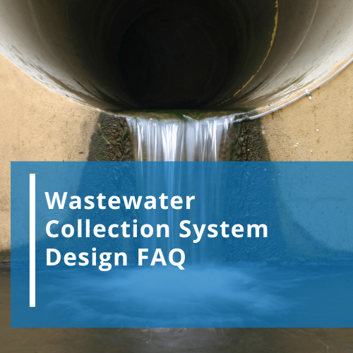
Wastewater collection system design is integral to the proper management of a community’s water resource management system. More than 3.5 billion people don’t have access to properly managed sanitation. Civil engineers continue to work with communities and other entities to provide more efficient water management systems. Here are three frequently asked questions about basic wastewater […]
Texas GIS Map Guides Planning
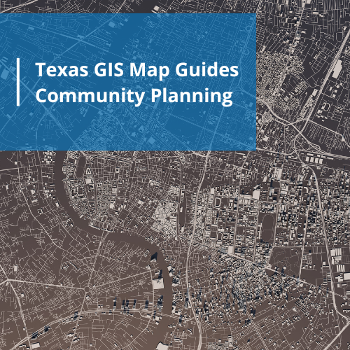
A Texas GIS map has many applications when planning, implementing, and maintaining community infrastructure. A geographic information system (GIS) is a computer representation of specific data sets that can be layered and analyzed. GIS technology is used in almost every industry with a multitude of practical applications. Mapping Benefits The ability to layer data that […]
Floodplain Development Permit Needs

A floodplain development permit is required before any construction or development of any type begins in a Special Flood Hazard Area (SFHA). Communities are responsible for ensuring all proposed developments attain the required documentation and approvals as mandated by local, state, and federal law. Furthermore, a community must develop floodplain management ordinances to ensure the […]
Environment Studies and Sustainable Community Planning

Environment studies are imperative for community decision makers. These reports contain empirical data of the environmental impact of current or potential infrastructure. The beginning of the industrial revolution created a need for regulations that prevent pollution. Introducing any type of waste substance into an environment can have major consequences to land, water, plants, animals, and […]
National Flood Experts Predict Higher Flood Incidents
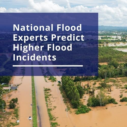
National flood experts collect and interpret data regarding water movement. These observations have multiple applications including the prediction of future event intensity, rate of occurrence, and response recommendations. The results of new studies indicate the coastal areas of the United States, including the gulf of Mexico, will see a higher rate of flooding in the […]
What are Phase Construction Services?

What are Phase Construction Services? Phase construction services are project management services provided by an expert to ensure each step or phase of a project is properly completed. Each phase of a construction project takes specific skills to coordinate while ensuring a quality end product that aligns with regulations and stakeholder expectations. 5 Steps of […]
Substantial Damage Estimator from FEMA
The FEMA substantial damage estimator is one of the tools used to assess the state of structures after a flood. Community planners must coordinate with many levels of government in order to provide protection against flooding and recovery plans to mitigate damage if a flooding event occurs. In order to be eligible for flood insurance […]
FEMA Floodplain Maps and Community Planning

Community planners, business representatives, and citizens are all at risk due to the unpredictability of floods. Tools such as FEMA floodplain maps are an integral part of risk reduction and land use decisions. What are FEMA Floodplain Maps? A floodplain map shows the boundaries of a flood zone. The ultimate goal of these types of […]
What Do Civil Engineers Do?

Many of the things we take for granted in our daily lives involve engineers. From the buildings where we work and live to the streets that get us to and from these places, engineers play an important part in the design, creation, and maintenance of almost everything. There are many different disciplines of engineering. Many of […]